
Digital Imaging & 3D Modeling
Aerial Maps with drones. The perfect way to reimagine your project or property.
Fly
Using DJI’s Mavic Pro drone on an automated flight path, we will expertly capture hundreds of images of your property to stitch together.
Process
Our software pulls all the necessary data together to provide you with a scaled, measurable map.
Deliver
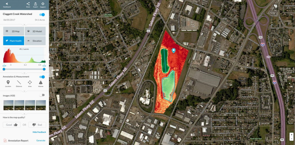
With the click of a button, you can now see the plant health, building size, topographical measurements, and 3D model of your property.
A service packed with great features
Aerial mapping takes a complex construction site, nature preserve, agricultural region, or industrial lot and brings it into perspective. This solution helps every business in need of a true-to-scale map with greater functionality than an image.
In addition to that, we offer aerial and interior photos and videos with gimbal-stabilized cameras. Whether you are looking to promote business or need surveying and project tracking, Salem Aerial in Oregon is your one-stop-shop.
More features than you could imagine!
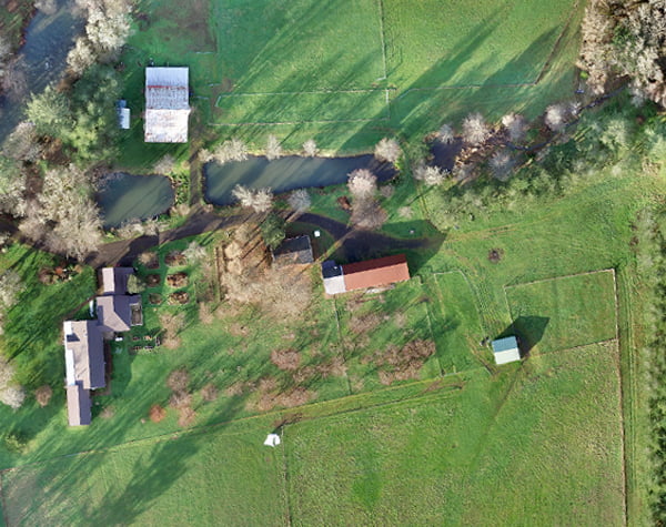
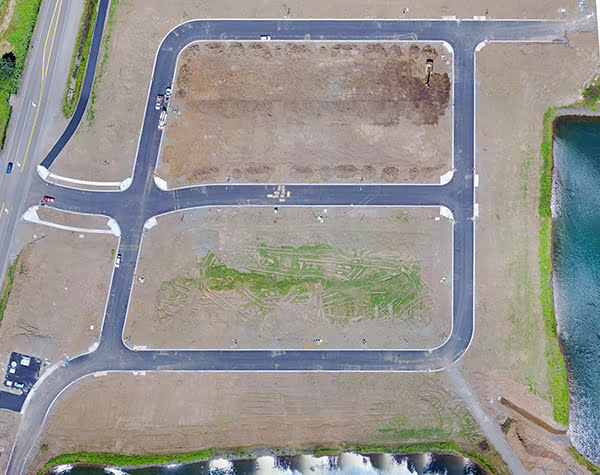
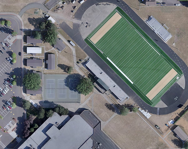
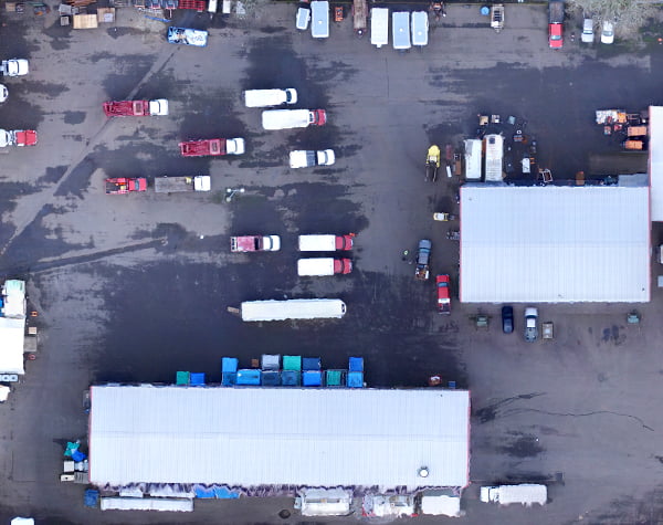
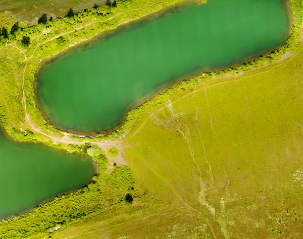
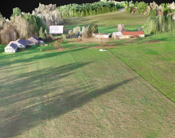
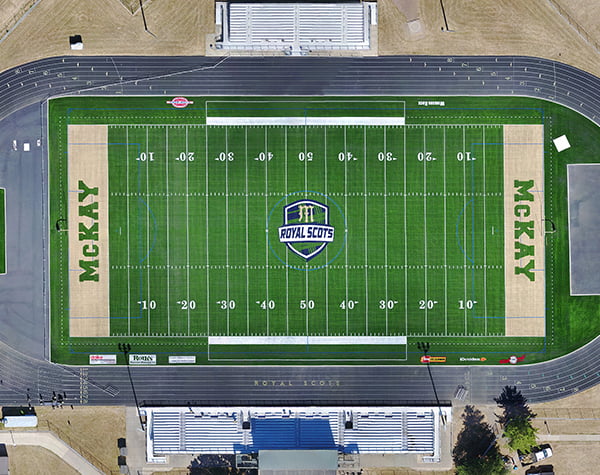
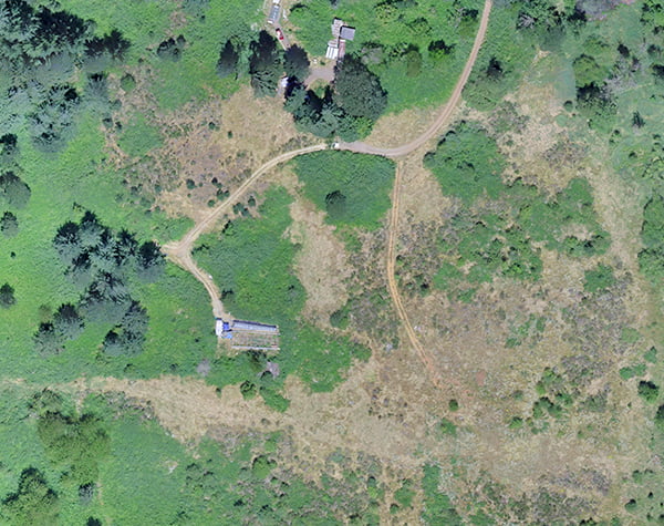
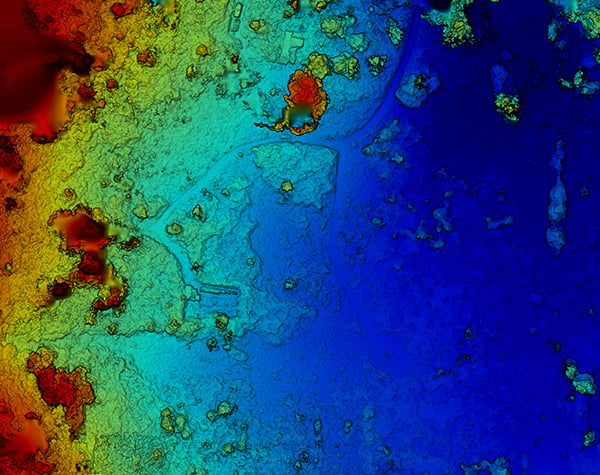
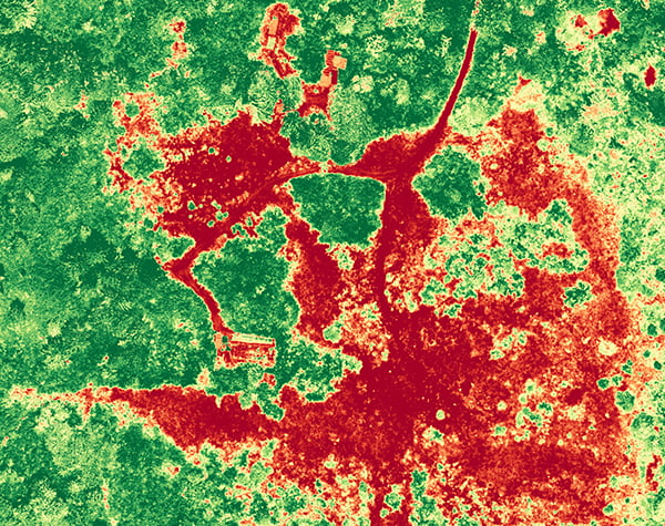
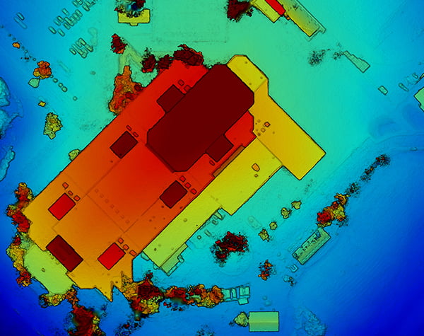
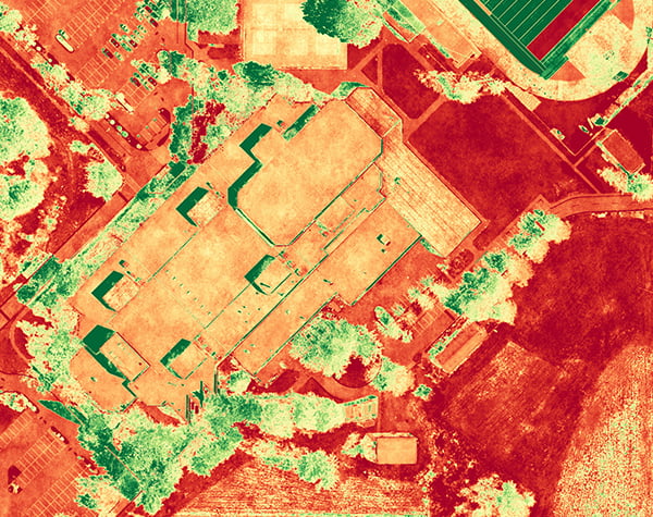
- High Resolution Map
- Measuring Capabilities
- 2D and 3D Views
- GPS Integration
- Plant Health
- Point Cloud
- Orthomosaic
- 3D Models
- Share & Export
- Topographical Data
- Click and Drag Viewing
- Elevation Maps
Our great Visual Map just got better:
Now with Plant Health and Elevation!
What our customers say
"I love it. It captures the entire area in a clear image that I was able to use for sponsors to see the complete project."
Danielle BethellFormer Director, Keizer Chamber of Commerce
"Thanks so much! I appreciate your help with this project, the confirmation of the pricing, and hope to work with you all again soon."
Think Marketing & Creative Services
"It looks awesome! Thanks!"
Gilbert House Children’s Museum
Previous
Next